RNG & β-Skeltons' Repository
Datasets of the project Develoment of a method for recongnising interaction networks of historical towns oriented to understanding and resignifying of cultural processes
Creator(s): Diego Jimenez-Badillo and Luis Alberto Alcántara-Chávez
Year: 2024
Software online: RNG: Spatial Network Analysis
Code available at: GitHub Repository
User Manual: View PDF file
Summary
This repository stores datasets of the project Desarrollo de un método para el reconocimiento de redes de interacción de pueblos históricos orientado a la comprensión y resignificación de procesos culturales [Develoment of a method for recongnising interaction networks of historical towns oriented to understanding and resignifying of cultural processes], financed by Consejo Nacional de Humanidades Ciencia y Tecnología (Conahcyt), through a grant for a sabbatical stay at the Deutsches Archäologisches Institut (DAI).
The project applies the concept of relative neighbourhood for reconstructing interaction networks of ancient towns using their spatial coordinates as unique variables. This responds to the need of historians and archaeologists to assess different scenarios on how a set of ancient sites could have interacted in the past. In contrast to notions that measure linear distances, such as nearest neighbour, the relative neighbourhood concept defines relationships by delimiting several “regions of influence” belonging to each pair of sites. These vary in shape and size and allow extracting proximity networks, such as relative neighbourhood graph, Gabriel graph and beta-skeletons, which can be used as hypothetical models of possible interaction among the site-set. The relative neighborhood method offers formal and effective means of revealing the spatial relationships of the sites under study. It also allows measuring two connectivity properties called integration and control, which are useful for understanding the degree of accessibility and relative importance of each site within the network structure.
The datasets stored in this repository include:
A normalized table with information of more than 645 towns located in the Valley of Mexico in the sixteenth century (see map).
- 64 Beta-skeletons, Gabriel Graphs and Relative Neigbourhood Graphs of altepeme of the Valle of Mexico and northern provinces in the sixteenth century, as well as values of control and integration of each site in each interaction networks extracted. The data can be downloaded in the following file formats: shape, csv, xlsx, and GeoJSON.
- 64 Beta-skeletons, Gabriel Graphs and Relative Neigbourhood Graphs of headtowns and associated estancias recorded in the Valle of Mexico in the sixteenth century, as well as values of control and integration of each site in each interaction networks extracted. The data can be downloaded in the following file formats: shape, csv, xlsx, and GeoJSON.
- 64 Beta-skeletons, Gabriel Graphs and Relative Neigbourhood Graphs of 245 sites in the Tenochtitlan region, as well as values of control and integration of each site in each interaction networks extracted. The data can be downloaded in the following file formats: shape, csv, xlsx, and GeoJSON.
- 64 Beta-skeletons, Gabriel Graphs and Relative Neigbourhood Graphs of 37 towns in the region of Zempoala (Hgo.) circa 1550, as well as values of control and integration of each site in each interaction network extracted. The data can be downloaded in the following file formats: shape, csv, xlsx, and GeoJSON.
- 64 Beta-skeletons, Gabriel Graphs and Relative Neigbourhood Graphs of 37 towns in the region of Zempoala (Hgo.) circa 1580, as well as values of control and integration of each site in each interaction network extracted. The data can be downloaded in the following file formats: shape, csv, xlsx, and GeoJSON.
The datasets were extracted with an online software developed specifically for the project. This is available at: https://shapingarchaeology.inah.gob.mx/
Cite this record
Jimenez-Badillo, Diego
2024 First results of the RNG web application, Available at: dh.inah.gob.mx/rng_repository
License
Attribution-NonCommercial-NoDerivatives 4.0 International
This license enables reusers to copy and distribute the material in any medium or format in unadapted form only, for noncommercial purposes only, and only so long as attribution is given to the creator. CC BY-NC-ND includes the following elements:
![]() BY: credit must be given to the creator.
BY: credit must be given to the creator. ![]() NC: Only noncommercial uses of the work are permitted.
NC: Only noncommercial uses of the work are permitted. ![]() ND: No derivatives or adaptations of the work are permitted.
ND: No derivatives or adaptations of the work are permitted.
Study Area
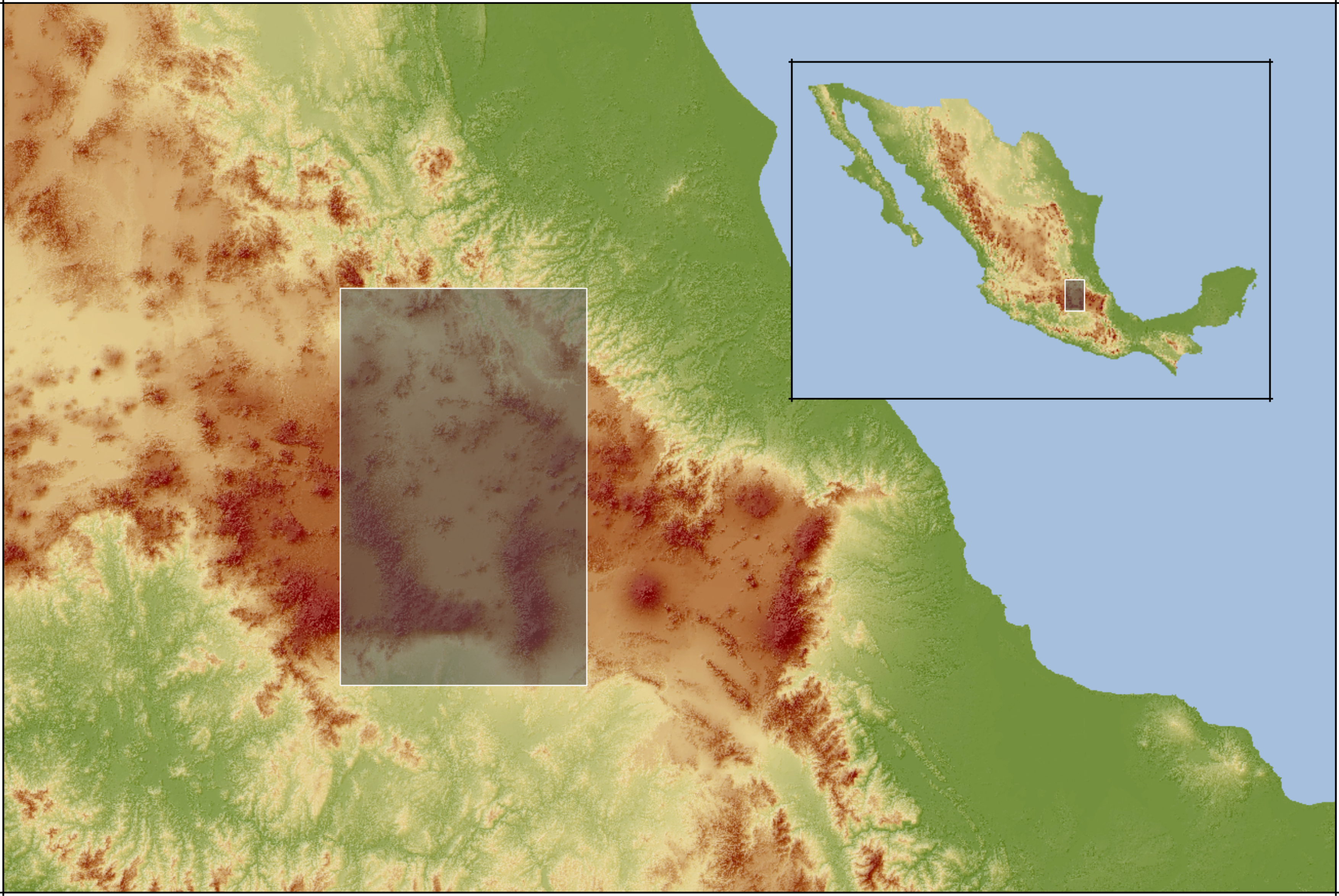
Standardised data of sixteenth century towns located in the Valley of Mexico