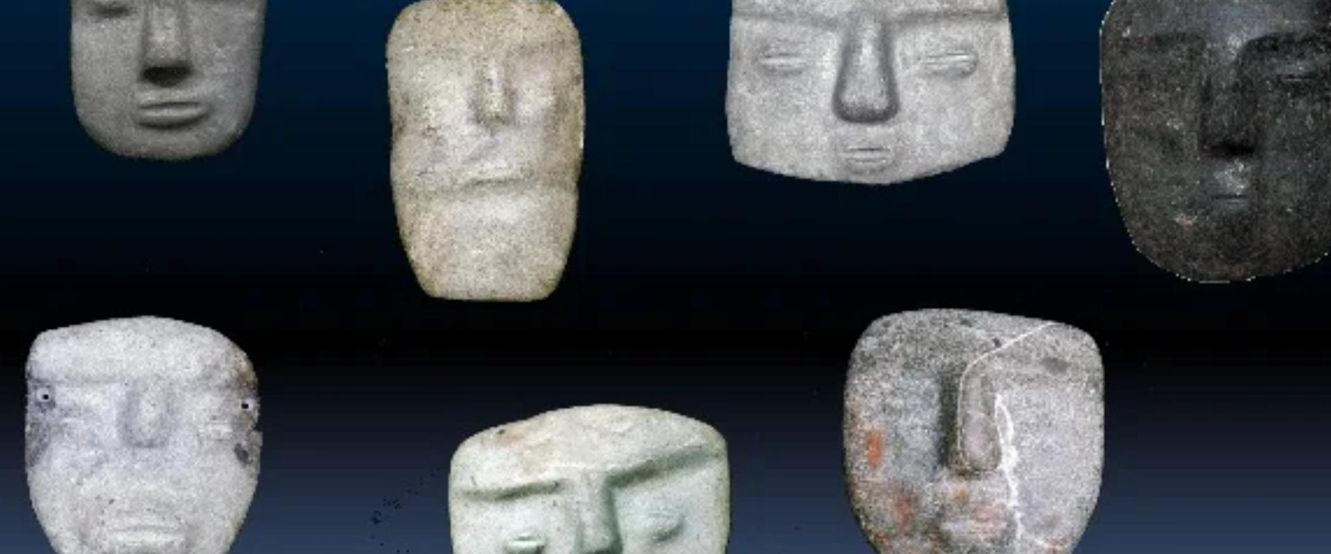
Application of 3D Computer Vision to automate the recognition, retrieval and classification of cultural heritage objects
The goal of this project is developing a 3D shape recognition system to automatically retrieve cultural heritage objects from web repositories based exclusively on the analysis of their geometric properties. The search-engine operates in a similar manner than Google, but instead of text-based queries it uses 3D shape recognition algorithms for retrieving objects. The project is conducted in collaboration with Dr. Salvador Ruiz-Correa (Instituto Potosino de Investigaciones en Ciencia y Tecnología, IPICYT, San Luis Potosi, Mexico), and Dr. Oman Mendoza-Montoya (Instituto Tecnologico de Monterrey, Guadalajara, Mexico).

Reconstruction of interaction networks of historic towns
This project produced a new method of spatial analysis that defines areas of influence (i.e. relative neighbourhoods) around point locations in order to produce adjacency-networks. These networks reveal town connections at different levels of resolution, which hhistorians and archaeologists can use to assess different scenarios on how a set of towns could have interacted in the past. The method provides formulae to measure properties, such as degree of ‘integration’ and ‘control’ of each town within the network structure. A special software has been developed in collaboration with Archaeologist Luis Alberto Alcántara Vázquez to support the application of the RN-Method. It features tools to compute, analyse and visualize adjacency networks interactively through the integration of spatial analysis functionality, graph-theoretical algorithms, DBMS transactions, and 3D rendering functions.
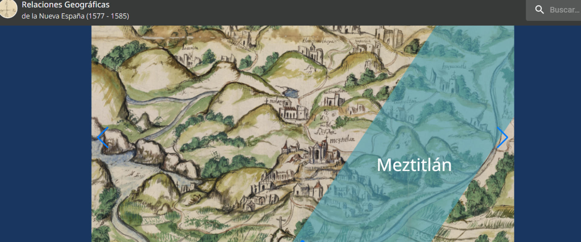
Digging into Early Colonial Mexico
This project applied Computational and Corpus Linguistics techniques to automatically identify and labelled words belonging to analytic categories of historic importance in the sixteenth century documents known as Relaciones Geográficas (1577-1585). Thanks to a combination of Named Entity Recognition and Disambiguation techniques and Georeferencing of places mentioned in the documents, the methodology allows historians to retrieve unsuspected patterns of information in just a few seconds, a task that would take months of years through normal reading. This project was conducted in collaboration with Patricia Murrieta-Flores (Digital Humanities Hub, Lancaster University), and Bruno Martins (Instituto de Engenharia de Sistemas e Computadores, Investigação e Desenvolvimento em Lisboa, INESC–ID, University of Lisbon).